At-a-Glance
The Historic Peninsula and Byzantine Legacy
- Sultanahmet
- Hagia Sophia
- Blue Mosque
- Hippodrome
- Archaeological Park
Ottoman Power—Topkapı Palace and the Imperial Quarter
- Topkapı Palace
- Imperial Treasury
- Harem quarters
- Süleymaniye Mosque
- Zeyrek
Beyoğlu, Galata and 19th-Century Modernity
- Galata Bridge
- Galata Tower
- İstiklal Caddesi
- Pera Museum
- SALT Galata
Crossing to Asia—Kadıköy and Üsküdar
- Kadıköy
- Üsküdar
- Mihrimah Sultan Mosque
- Moda district
- Bagdat Caddesi
The Princes' Islands or Deeper Neighborhood Exploration
- Büyükada
- Princes' Islands
- Theodosian land walls
- Kariye Museum
- Dolmabahçe Palace
Istanbul in 5 Days: Two Continents, Three Empires
This five-day plan takes you across the Bosphorus twice—once by ferry, once by metro tunnel—and shows you how daily Istanbul works on both shores. You’ll walk through 1,700 years of layered occupation—Roman foundations, Byzantine churches, Ottoman palaces—and this itinerary threads them chronologically so they make sense.
This plan alternates between dense monument clusters (Sultanahmet on Day One, Topkapı on Day Two) and neighborhood walks (Beyoğlu, Kadıköy) to prevent museum fatigue.
Why Five Days: Balancing Depth and Geography
Five days provide enough time to explore the historic peninsula’s UNESCO-listed monuments without rushing, while also experiencing neighborhoods on the Asian side and taking Bosphorus crossings. Istanbul is the only major city in the world that stands on two continents, with its metropolitan area divided between the European and Asian shores of the Bosphorus Strait. Attempting to see both shores in fewer days forces surface-level tourism; a week allows unnecessary repetition for most visitors.
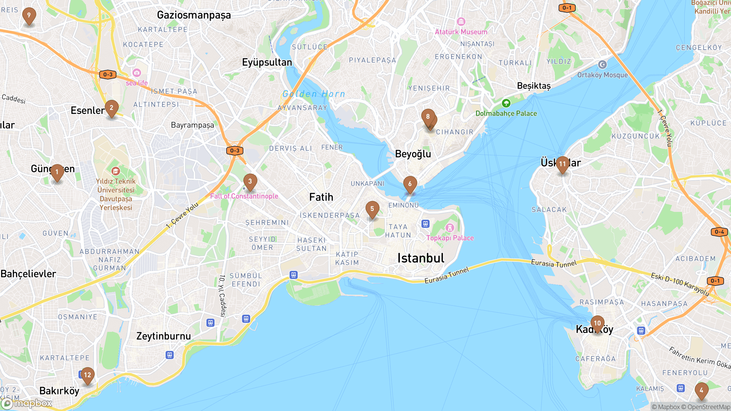
The itinerary naturally divides into concentrated days in Sultanahmet’s imperial core, urban exploration in Beyoğlu and Galata, maritime crossings to Asian districts, and optional excursions to the Princes’ Islands. Each day represents a different layer of the city’s character—from the ceremonial center of three empires to the working neighborhoods where daily life unfolds on both continents.
You’ll walk through 1,700 years of layered occupation—Roman foundations, Byzantine churches, Ottoman palaces—and this itinerary threads them chronologically so they make sense. Five days allow thematic progression rather than checklist tourism.
The Istanbulkart covers metro, trams, ferries, funiculars. Crossing from Europe to Asia takes 20 minutes by ferry and costs under a dollar.
The UNESCO World Heritage listing recognizes four distinct zones on the historic peninsula, each requiring dedicated time to appreciate fully. Rushing through these areas in a day or two means missing the architectural details and historical continuities that make Istanbul exceptional.
Day One: The Historic Peninsula and Byzantine Legacy
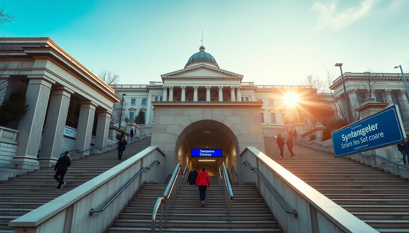
Begin in Sultanahmet, the heart of the UNESCO World Heritage historic areas, where Byzantine and Ottoman monuments cluster within walking distance on the old peninsula. Constantine’s decision to anchor the empire here 1,700 years ago explains why you’ll get lost in these streets—they follow the logic of a Roman military camp, not a grid.
Hagia Sophia—built in the 6th century under Emperor Justinian I as a Byzantine church, later converted to an Ottoman mosque, and since 2020 again functioning as a mosque—remains the architectural centerpiece of the area. The dome sits 55 meters up with minimal interior support—when you stand underneath, you’ll see why Ottoman engineers were so terrified it would collapse they built extra buttresses around the outside.
For practical planning and timing guidance, detailed access information for Hagia Sophia covers current visiting protocols as an active place of worship. The Blue Mosque (Sultan Ahmet Mosque) and Hippodrome area complete the imperial landscape, but remember both are active places of worship with restricted access during prayer times and Friday noon prayers.
Skip mosques during prayer times (listed on posted schedules); women need a headscarf (most mosques lend them) and everyone removes shoes at the entrance.
The Archaeological Park in Sultanahmet preserves Roman, Byzantine and Ottoman layers in close proximity, allowing thematic exploration of how successive empires reused and adapted the same urban core. Walking from Hagia Sophia to the Hippodrome traces the ceremonial axis of Byzantine Constantinople, where chariot races entertained crowds and political factions clashed in riots that nearly toppled emperors.
The historic area of Istanbul’s peninsula, including monuments such as Hagia Sophia, the Sultan Ahmet Mosque (Blue Mosque), Topkapı Palace and the land walls, is inscribed on the UNESCO World Heritage List as the “Historic Areas of Istanbul.” This recognition extends beyond individual buildings to encompass entire urban conservation zones that preserve the relationship between structures, streets and public spaces.
Day Two: Ottoman Power—Topkapı Palace and the Imperial Quarter
Dedicate a full morning to Topkapı Palace, the administrative and residential center of the Ottoman Empire from 1453 until the 19th century, located on the Seraglio Point overlooking the Bosphorus. After the fall of Constantinople in 1453, Mehmed II made the city the capital of the Ottoman Empire and initiated extensive building projects including the construction of Topkapı Palace and the conversion of Hagia Sophia into an imperial mosque.
The palace complex includes courtyards, the Imperial Treasury, the Harem quarters and pavilions with panoramic views over the Golden Horn and Bosphorus, requiring several hours to explore thoroughly. Unlike European palaces built as single architectural statements, Topkapı developed organically over centuries through successive sultans adding pavilions, gardens and administrative wings.
Spend an hour in the Harem wing alone—the ceiling tiles, the miniature fountains, the tiny chambers where sultans’ concubines lived—or you’ll miss why Topkapı feels less like a palace and more like a self-contained city.
For logistics and touring strategies that help you navigate the palace’s multiple sections efficiently, comprehensive planning resources for Topkapı Palace outline the layout and suggest sequencing. The Imperial Treasury alone contains centuries of accumulated wealth, ceremonial objects and diplomatic gifts that illustrate the Ottoman Empire’s reach from Vienna to Yemen.
The UNESCO zones spread across the peninsula—Sultanahmet is crowded by 10 AM. Avoid it on your second UNESCO day; head to the Süleymaniye or Zeyrek instead, which have the same architecture and none of the selfie sticks.
Cobblestone streets and steep hills in these areas require comfortable walking shoes; the historic districts are densely built and best navigated on foot. Walk uphill from any waterfront and you’ll hit a hilltop mosque—that’s the city’s original seven-hill structure still organizing daily life. Climb to each one and you get wildly different views of the strait.
Walk uphill from any waterfront and you’ll hit a hilltop mosque—that’s the city’s original seven-hill structure still organizing daily life.
The Süleymaniye complex, designed by the architect Sinan and completed in 1557, represents Ottoman architecture at its technical and aesthetic peak. The mosque sits on Istanbul’s highest hill, commanding views across the Golden Horn to Galata and Beyoğlu, and is surrounded by educational and social welfare buildings that formed a complete urban quarter.
Day Three: Beyoğlu, Galata and 19th-Century Modernity
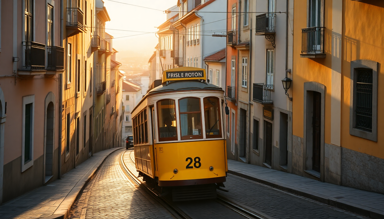
Cross the Golden Horn via the Galata Bridge (on foot or by tram) to reach Beyoğlu, the 19th-century cosmopolitan quarter that developed as a European-influenced district with embassies, shops and entertainment venues. Beyoğlu is the Ottoman version of a European colonial quarter—embassies, theaters, wine bars, foreign banks. Walk İstiklal Caddesi on a weekday and you’ll see the collision of old and new still happening in real time.
İstiklal Caddesi, the main pedestrian avenue, showcases late Ottoman and early Republican architecture alongside contemporary cafes, bookshops and cultural institutions. The street was historically known as the Grande Rue de Péra when it served as the social and commercial heart of the city’s non-Muslim and foreign communities. Today it blends that heritage with the energy of a modern urban center where Istanbulites shop, meet friends and attend concerts.
The Galata Tower, a medieval Genoese structure, offers panoramic views over the old city and the Bosphorus, illustrating the layered history of European commercial presence in Istanbul. The tower dates to 1348, when Genoa controlled this district as a semi-independent colony, and its stone cylinder has witnessed the transition from Byzantine to Ottoman to Republican rule from its elevated vantage point.
During the late 19th and early 20th centuries, Beyoğlu developed as a modern quarter with European-style architecture, embassies, shops and entertainment venues, reflecting the influence of European powers on Ottoman urban life. Art Nouveau facades stand next to belle époque theaters; Orthodox, Catholic and Armenian churches share blocks with synagogues in a neighborhood that once embodied Istanbul’s religious and ethnic diversity.
Skip the tourist meyhanes on İstiklal; walk down side streets to find neighborhood spots where locals order meze and rakı and treat it like their living room. Side streets branching off İstiklal lead to quieter enclaves where neighborhood bakeries, wine shops and record stores operate much as they have for decades.
The Pera Museum and SALT Galata offer rotating exhibitions on Ottoman photography, urban history and contemporary art, adding cultural depth to the architectural walking tour. These establishments maintain a relaxed conviviality distinct from the tourist-focused restaurants of Sultanahmet, where locals gather for long evenings of conversation and shared plates.
Day Four: Crossing to Asia—Kadıköy and Üsküdar
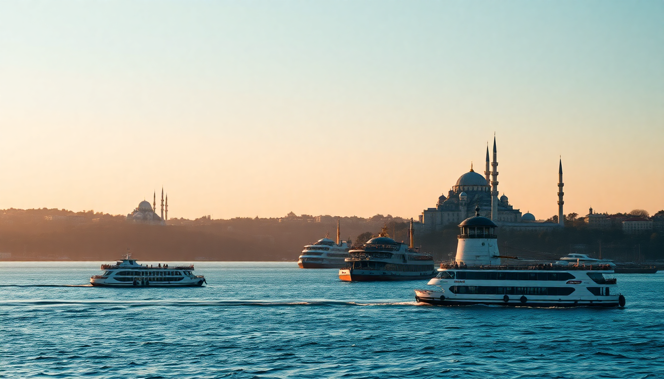
Take the ferry from Eminönü to Kadıköy (20 minutes, less than a dollar) and you’ll see the Bosphorus’s working side—fishing boats, ferries, tanker traffic—not the postcards.
Kadıköy on Istanbul’s Asian side is a major residential and commercial district served by ferries, metro and buses, with a large market area and transport hub at Kadıköy Pier. The neighborhood’s produce market, fish vendors and cheese shops draw shoppers from across the city, and the streets radiating from the waterfront contain independent bookstores, vinyl shops and specialty coffee roasters that have made Kadıköy a cultural center.
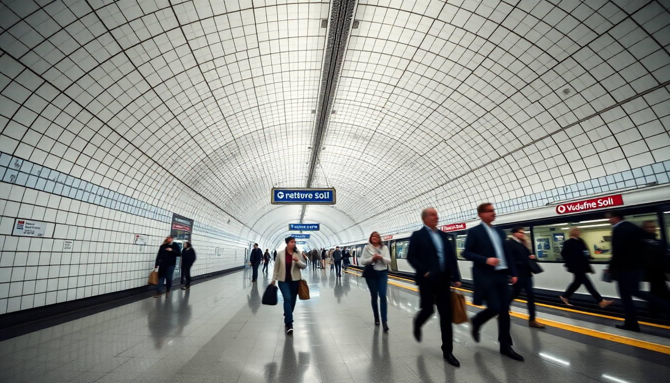
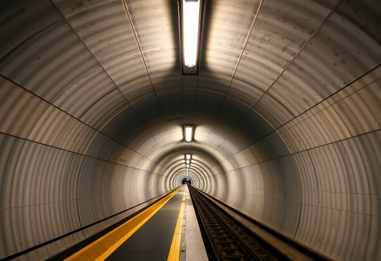
Travelers can move efficiently between European and Asian districts using the Marmaray suburban rail line, which runs in an underwater tunnel beneath the Bosphorus and connects major hubs such as Yenikapı, Sirkeci and Üsküdar. The tunnel crosses 60 meters below the seabed, a feat of engineering that also revealed Byzantine-era shipwrecks during construction, now displayed in stations along the line.
Üsküdar preserves historic Ottoman mosques and waterfront promenades, offering a quieter atmosphere than the tourist-heavy European peninsula while remaining integral to the city’s cultural landscape. Mosques built by successive Ottoman women of the imperial family line the shore, each with distinctive minarets visible from across the water. The Mihrimah Sultan Mosque, designed by Sinan for the daughter of Süleyman the Magnificent, commands a hillside position with views back to the European skyline.
In just four minutes you pass from Europe to Asia beneath one of the world’s busiest shipping lanes, a journey that takes longer by ferry but rewards with views and fresh air.
Most Istanbul guides tell you the Asian side is a day trip. Ignore them. Kadıköy has better independent bookstores, cheaper meals, and zero tourist crowds—locals live here, which is the whole point.
The Moda district within Kadıköy offers coastal walking paths, belle époque mansions and neighborhood teahouses where residents gather to watch the sunset over the European shore. Bagdat Caddesi, Asia’s main shopping boulevard, stretches for kilometers inland with cafes, boutiques and cinemas, illustrating the scale of the Asian districts that extend far beyond the waterfront.
For an overview of Kadıköy’s history and contemporary character, the Kadıköy Municipality provides context on the district’s evolution from ancient Chalcedon to modern urban center. The municipality’s cultural programming includes open-air concerts, art installations and historical walking tours that deepen understanding of this often-overlooked side of Istanbul.
For a full multi-day plan in Paris, see Best things to do in Paris in 3 days: a curated itinerary.
Day Five: The Princes’ Islands or Deeper Neighborhood Exploration
Option A: Take a public ferry to the Princes’ Islands in the Sea of Marmara, a car-free archipelago preserving late Ottoman mansions and offering a quieter environment than the mainland city. The Princes’ Islands in the Sea of Marmara, including Büyükada, are accessible by public ferries from central Istanbul and are largely car-free, providing a quieter environment than the mainland city. The absence of motor vehicles creates an atmosphere from another era, where horse-drawn carriages and bicycles remain the primary transport.
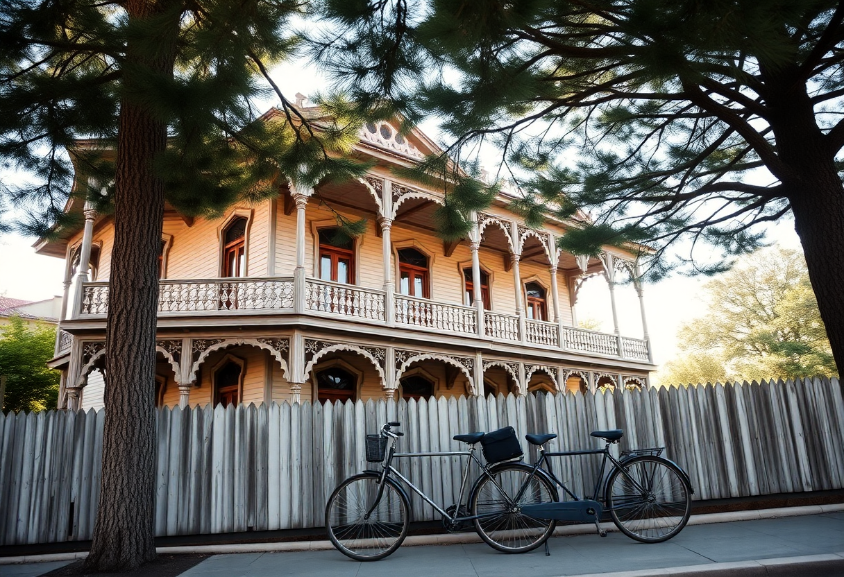
Büyükada, the largest island, features pedestrian streets, historic wooden houses, monasteries and coastal paths accessible by bicycle or horse-drawn carriage, providing a contrast to urban Istanbul. The island’s pine-covered hills and Belle Époque summer mansions evoke the resort life of late Ottoman and early Republican elites who escaped the city’s summer heat. A circuit of the island takes several hours on foot or can be compressed with bicycle rental, passing coves, churches and hilltop viewpoints.
The Princes’ Islands were used in Byzantine and later periods as places of exile for princes and other figures, and today preserve late Ottoman mansions and religious buildings alongside leisure facilities. Monasteries on Büyükada and Heybeliada sheltered exiled royalty and deposed patriarchs, their isolation from the capital making them suitable for political quarantine.
Option B: Spend the day revisiting favorite neighborhoods, exploring the Theodosian land walls (part of the UNESCO inscription), or combining a morning in an Asian district with an afternoon Bosphorus cruise. Walk the land walls on the city’s western edge and you’ll see massive towers still standing from the 5th century. You’re walking the edge of a fortress 1,700 years old, feeling how small the defended area really was.
A Bosphorus cruise departing from Eminönü traces the strait northward past waterfront palaces, fishing villages and the fortresses Mehmed II built before the 1453 siege. Public ferries make this journey at a fraction of the cost of tourist boats, stopping at both European and Asian piers and allowing you to disembark at villages like Anadolu Kavağı or Sarıyer before returning.
Use Istanbulkart for ferry access to the islands and allow a full day for the round-trip and island exploration, or allocate remaining time to sites missed earlier in the itinerary. Istanbulkart is the standard contactless payment card for public transport; it can be purchased and topped up at kiosks and machines in metro and tram stations and used on metro, trams, buses and most municipal ferries. The card’s integration across modes makes spontaneous exploration practical—hop on a ferry to Üsküdar, then switch to a bus heading inland, or take a tram to Kabataş and transfer to the funicular climbing to Taksim.
Some visitors use the fifth day to explore neighborhoods they passed through earlier—returning to the Grand Bazaar with more focused shopping goals, spending a morning in the Spice Market’s chaos, or revisiting a mosque at a different hour when light transforms the interior. Others venture to the Kariye Museum (Chora Church) for its extraordinary Byzantine mosaics, or to the Dolmabahçe Palace to see where Ottoman sultans embraced European palace architecture in the 19th century.
For practical transit detail in Rome, see How to get around Rome using public transport: a complete guide.
Practical Logistics: Transport, Timing and Etiquette
Purchase and load an Istanbulkart at kiosks or machines in metro and tram stations; the card works on all metro lines, trams, buses, funiculars and most municipal ferries, simplifying payment across modes. The card requires a small deposit and can be topped up at yellow machines found in all major stations and many ferry piers. Multiple passengers can share a single card by tapping repeatedly, though individuals traveling separately may prefer separate cards for convenience.
The Marmaray rail line and frequent Bosphorus ferries make cross-continental movement routine and quick; multiple bridges and the underwater tunnel ensure that moving between Europe and Asia is part of daily commuting, not a special journey. Rush hours see packed ferries and standing-room-only metro cars, but off-peak travel moves smoothly.
Skip mosques during prayer times (listed on posted schedules); women need a headscarf (most mosques lend them) and everyone removes shoes at the entrance. Shoes are left in racks or carried in provided plastic bags, and stockinged or bare feet walk on carpets that are cleaned regularly. Prayer times vary with sunrise and sunset, so schedules shift slightly each day; posted signs and mosque staff indicate when the next closure will occur.
Skip mosques during prayer times (listed on posted schedules); women need a headscarf (most mosques lend them) and everyone removes shoes at the entrance.
Türkiye’s official tourism guidance recommends that visitors keep personal belongings secure in crowded areas, be cautious of unofficial taxis, and use licensed transportation and clearly identified tour services. Licensed taxis are yellow and metered; ride-hailing apps provide an alternative with upfront pricing and GPS tracking.
Restaurants in tourist areas around Sultanahmet often employ aggressive touts who promise special menus or discounts; walking a few blocks away from the main squares typically yields better quality and fairer prices. Locals eat late—dinner rarely begins before 8 PM, and many restaurants don’t fill until 9 or 10 PM—so arriving at 6 or 7 PM means quiet dining rooms and sometimes indifferent service geared toward early tourist seatings.
Water from Istanbul’s municipal system is treated and technically potable, but many residents and visitors prefer bottled water for taste. Cafes and restaurants provide free tap water on request, though bottled water incurs a charge. Pharmacies are abundant and well-stocked; green neon crosses mark their locations, and many pharmacists speak English and can advise on minor health issues.
Making the Most of Your Five Days: Key Takeaways
Spend a full day on the historic peninsula—Hagia Sophia, Blue Mosque, Hippodrome, Topkapı—to absorb the scale; a morning sprint leaves you exhausted and frustrated.
The 20-minute ferry from Eminönü to Kadıköy costs under a dollar and shows you how the Bosphorus actually works—fishing boats, commuter ferries, tanker traffic—instead of tourist postcards.
Balance imperial monument visits with time in residential and commercial districts like Beyoğlu and Kadıköy to see how modern life unfolds on both shores. Istanbul served as capital of the Eastern Roman (Byzantine) Empire from 330 to 1453 and of the Ottoman Empire from 1453 until the proclamation of the Republic of Türkiye in 1923, making the city a living archive of three empires’ urban planning, architecture and cultural legacy.
But 15 million people live here now, and on weekday evenings the metro is packed with office workers, students, shop clerks—they’re living their lives in a space tourists treat as an open-air museum. That collision is the real Istanbul.
Plan visits to major mosques and historic sites in Sultanahmet for mornings on weekdays to avoid weekend and late-day crowds and to minimize disruption by prayer times. Friday midday prayers draw the largest crowds and longest closures, making Friday afternoons better suited to exploring secular sites like museums and markets.
Walking from the Theodosian walls to the Bosphorus shore traces 1,700 years of continuous urban occupation, with each era leaving monuments, street patterns and place names that survive into the present. Five days is enough time to stop taking photos in Sultanahmet and start noticing which streets the locals use, which mosques stay quiet all day, and how modern Istanbul actually works around these monuments.